The Scale Of Weather And Firefighting – Part 2
In part 1 we began our discussion on the various scales of weather and started to examine how the various scales of weather are relevant to both emergency managers and first responders. We will finish up our discussion with the last two scales that are important to the public safety personnel on all levels.
Synoptic Scale
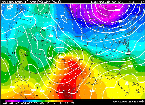
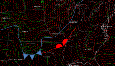
When we want to better understand what kind of weather we might experience over the next several days, we look at spatial areas of a smaller variety. The Synoptic Scale is useful for monitoring weather conditions such as highs and lows, frontal boundaries, and to some extent, hurricanes. The synoptic scale is the best fit for emergency managers and tactical planners and would be examined over an area the size of the United States, Australia, or Western Europe.
Moving critical resources or schedule planning for the next couple of days is best done at this level. The map below illustrates a general synoptic scale outlook.
Here in Texas, we have had a number of instances over the past few years where the NWS closely interacted with the Texas Forest Service and state emergency management during the spring fire season.
Through the collaborative efforts, firefighting resources from brush trucks to SEAT aircraft to large airborne tankers could be strategically placed throughout the state for faster response. Obviously the quicker one gets to a situation, the better the chances for containment.
For more insight on this widespread wildfire event, see https://www.srh.noaa.gov/oun/?n=events-20090409
Mesoscale
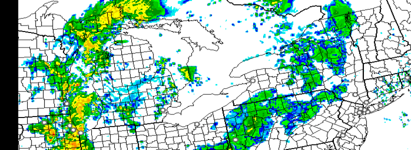
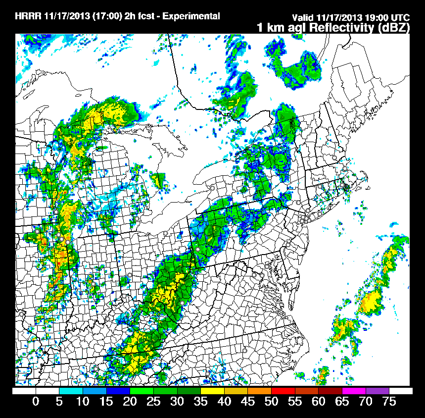
This is where things really start to become more distinct as to the weather types observed. The Mesoscale usually encompasses the area of a few states (more in the northeast!) and it is here that we begin to resolve lines of thunderstorms down to even individual thunderstorms. For considering the weather for today or tomorrow, this is where we’ll be looking.
Whether we are talking about fire weather or severe weather, this is where most first responders will want to focus to get a day’s outlook for their area. This is the level in which meteorologists are looking at what parts of a state have the highest weather risks. But, the more you learn about what’s going on the easier it will be for you to understand what is being communicated and put that knowledge to use in the field.
Smaller Scales
Just in passing, there are yet smaller scales on which weather occur. However, due to the increasing complexity and dynamic nature of these scales, combined with limited observational resources, we’ll steer away from those discussions for now. But, concepts of these scales, which last for seconds to a few hours, will be brought up later when we start talking about radar and some meteorological attributes in later articles.
Until next time, when we talk about the actual maps themselves and how we visualize them, keep watching the sky and stay safe.
If you have questions or comments, please feel welcome to comment below or drop me a line at [email protected].
Part 2 of 2
Part 1 link:
Part 3 link:
Photos Courtesy: NWS

