Firefighting and Weather: Air Masses and Fronts
As firefighters operate in the outside environment it is crucial they be able to understand the current weather conditions in their region, what is predicted in their area and how to read and understand the messages and data provided to them by the National Weather Service. This is part of the art and science of firefighting. As you have learned, having knowledge in these special categories helps to ensure a safe and effective outcome of your incident.
Our discussion today will look at fronts. These are simply boundaries of two different types of air masses.
Air Masses
An air mass is an area of the atmosphere that contains similar quantities of temperature and moisture. Most people are well familiar with the terms cold front and warm front, but moisture can be vastly different between two air masses. Such is the case with the “dryline” which often sets up across the plains states each spring.
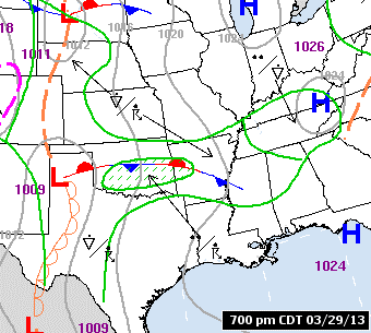
The dryline separates warm moist air to the east from warm and dry air to the west and can serve as the focus for severe thunderstorms.
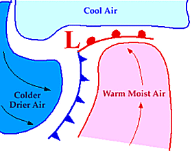
A cold front is the situation whereby cold air is replacing warmer air at the surface and is indicated by a blue line with barbs pointing in the direction of movement.
A warm front, likewise, is depicted as a red line with semi-circles in the direction of movement.
When the front is not advancing noticeably toward the cooler or warmer air, it is considered stationary and is depicted with alternating blue and red segments like the cold front and warm front respectively.
In the included image, a stationary front is evident across Oklahoma. The dry line is often depicted as a brown line with hollow semicircles on the east side. However, the dry line can and does move back and forth. Generally speaking the dry line pushes east during the day and retreats westward during the evening and overnight.
There are other types of fronts, but these require a more advanced conceptualized knowledge of the atmosphere in three dimensions. So, we’ll stick with the simpler models for now.
Why Are Fronts Important?
In essence, they are discontinuities within our atmosphere by their very nature.
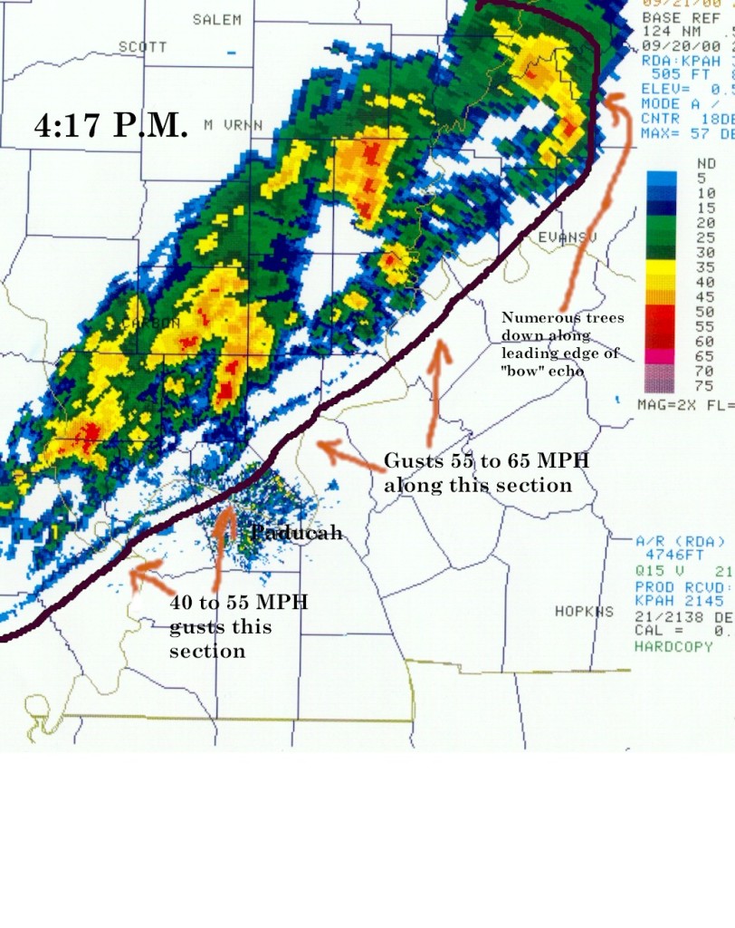
Whether hot or cold, moist or dry; because of these differences, the more volatile sensible weather tends to occur near these boundaries. Wind shifts usually occur near these boundaries and these could have impacts on ongoing fire operations. Depending on the strength of the overall system, these wind shifts may be gradual over the course of hours or nearly instantaneous with dramatic changes in direction, speed, temperature, or moisture content.
Graphics Courtesy: NOAA
Cover and Feature Photos Courtesy: PYKL3 Radar
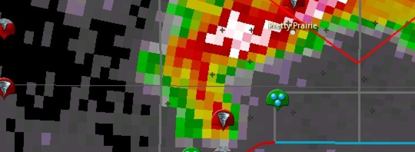
The cover and feature pic show an image of a hook echo from a tornado near Pretty Prairie, Kansas (April 2012)

