Meteorology for Firefighters
When most people think of severe weather, tornadoes are usually the first thing to pop into one’s mind. However, there are other significant weather threats beyond tornadoes. Firefighters (volunteer and paid) are often called to serve as storm spotters. Therefore, recognition of the type of expected threat on any given day is critical in remaining safe. Remember, you want to be a spotter, not a participant!
Tornadoes certainly obtain much attention in the media but while very intense; their damage path is usually quite small. Even the most intense tornadoes, like those experienced across Oklahoma just a few weeks ago, pale in comparison to the surface area impacted by a storm known as a Derecho.
A Derecho is a fast moving, long track storm system which brings a swath of very damaging 58 to 110+ mph wind over a path greater than 240 miles. With winds of these speeds, heavy structural damage to both buildings and infrastructure may occur along with significant tree blow down as illustrated in Figure 1.
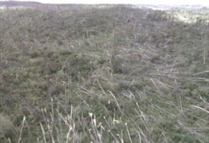
Trees are shown blown down as a result of a passing Derecho. This shows the true force of the associated winds.
Incidentally, these wind speeds cause damage equivalent to EF1, or occasionally EF2 tornadoes. Small, embedded tornadoes are possible with derechos, but are usually quite weak and very often are obscured by precipitation.
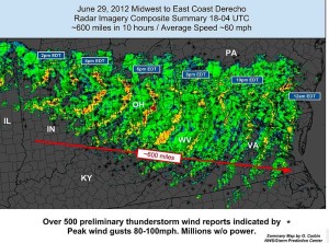
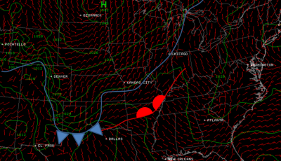
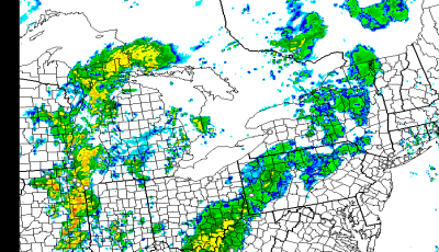
Derechos typically occur during the summer months and often in the midst of a heat wave across the southeastern USA. These storm complexes form along frontal boundaries and some of the most prolific events develop and ride along stationary fronts from the northern plains, though the Ohio Valley and into the northern Atlantic states with a lifetime often near 24 hours. In fact, the Mid-Atlantic States experienced one back on June 29th, 2012 as seen in Figure 2.
As the system approaches your location, a mobile app such as PYKL3Radar can be incredibly useful for situational awareness. Figure 3 illustrates a derecho event in-progress in the radar velocity product. The “cool” colors show winds heading toward the radar and the “warm” colors in green moving away from the radar. To remember this in the field, think red tail-lights for winds moving away from the radar.
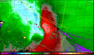
Here a Derecho is shown in the wind velocity product. The red color means the winds are moving away from the radar and the green indicates the winds that are blowing toward the radar. Photo Courtesy: Joe Jurecka, PYKL3Radar
Just as it is good practice to properly pack hoselines on the engine so they don’t become tangled, so too is viewing the storm outlook for the day at https://www.spc.noaa.gov. It should be part of your routine to check the expected weather threats so that you are aware of the weather situation. If your area is graphically depicted to be in or near a slight risk or higher, read through the Convective Day 1 Outlook which will outline what type of event is expected.
For more information on derechos, please visit https://www.spc.noaa.gov/misc/AbtDerechos/derechofacts.htm

